We just moved…again. My kids have now lived in four different states. When we told our kids about our upcoming move, we had hoped they would be over-the-moon excited! But, that was NOT the case. In fact, my daughter started crying.
I immediately knew that I had to find a way to dry the tears and get my kiddos excited about moving.
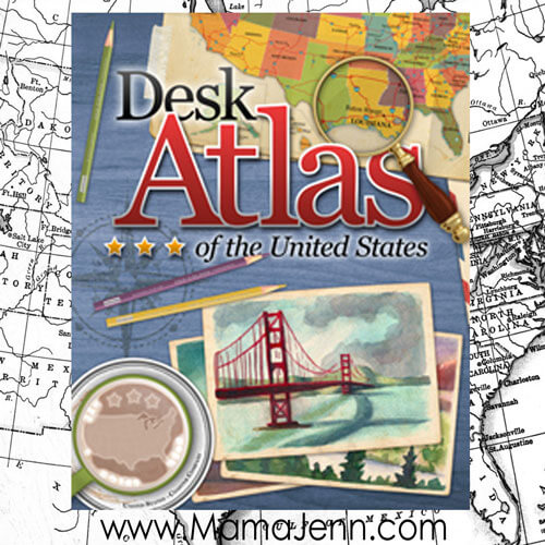
Fortunately, I had just received an atlas.
I received this product free of charge for review purposes and I was financially compensated for my time. All opinions expressed in this post are my own and I was not required to post a positive review of the product.
Now, this is not your ordinary atlas!
The GeoMatters Desk Atlas of the United States helped ease the sting of my daughter having to move away from her friends. Not only did the atlas help me build up a little excitement for our move, but it also sparked a genuine interest in learning more about ALL of the states!
An Overview of the Desk Atlas
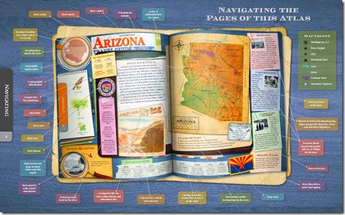
The Desk Atlas of the United States is not just a book of maps. It is so much more!
Check out some of what is included for each of the 50 states:
-
Historical Facts
-
State Symbols (bird, tree, flower)
-
Date of Statehood, Mottos and Symbols
-
Summary of Climate, Geography and Features
-
State Quarters, Flags and Seals
-
State Flags & Brief Descriptions
-
Beautiful Physical Maps
-
Demographic Information
-
Favorite Tourist Destinations
-
Features on Significant Historical Events and People
-
Timelines of Notable Events
-
State Trivia Facts
-
State Almanac
-
Dictionary of Geography Terms
-
And Much More!
Plus, the atlas is big and beautiful! The full-color, 132 page atlas measures about 9.5” x 12”. The atlas truly draws you in! You can’t help but immerse yourself in all of the history of our great nation!
Using & Loving the Desk Atlas
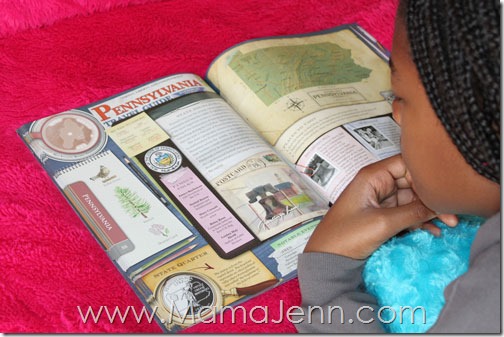
I had originally planned for my kiddos to go through the atlas one state at a time. However, they were so intrigued with all of the fun facts, not only about our new state, but about ALL of the states, that I have just decided to let them have free reign with the atlas.
They have discovered interesting fact about all of the states we have lived in. They have even made plans to visit other states based on the exciting tourist information provided!
My 9 year olds have declared that their favorite part of the atlas is the state quarters. Below, they are using the atlas to learn information about the state quarters they have collected on their State Quarters Collector Map.
Anything that encourages my kids to learn on their own is a great addition to our homeschool and the Desk Atlas has done just that. My kids repeatedly rattle off facts that they learned from the atlas!
And, what happened with our move? Well, we survived! In fact, my kiddos are really enjoying living in our new state…and I can’t help but think that the Desk Atlas had a little bit to do with it!
Designed to engage students in grades 2-12, I believe the Desk Atlas is a great addition to any homeschool.
Trail Guide to US Geography Curriculum
GeoMatters has not only created an amazing homeschool-friendly atlas, but they also have a US Geography curriculum that utilizes the atlas!
The Trail Guide to U.S. Geography is a family-friendly, multi-level geography curriculum designed from grades 3-12. Utilizing the Desk Atlas, the geography curriculum includes daily questions to gain experience using maps and using atlases.
The student pages, which come in three different grade levels, are used to complete weekly mapping assignments. The curriculum also includes weekly Trail Blazing assignments, which include lots of hands-on learning ideas to make the geography studies even more fun!
Win a FREE Desk Atlas Bundle:
Purchase the Atlas/Atlas Bundle:
Can’t wait to win? Want to add the Desk Atlas of the United States to your homeschool now? Get 25% off using coupon code 25OFF
Want the atlas and the curriculum? Right now, the bundle is discounted! Get 50% OFF the Desk Atlas Bundle!
For more information, be sure to connect with GeoMatters: Facebook | Twitter | Pinterest



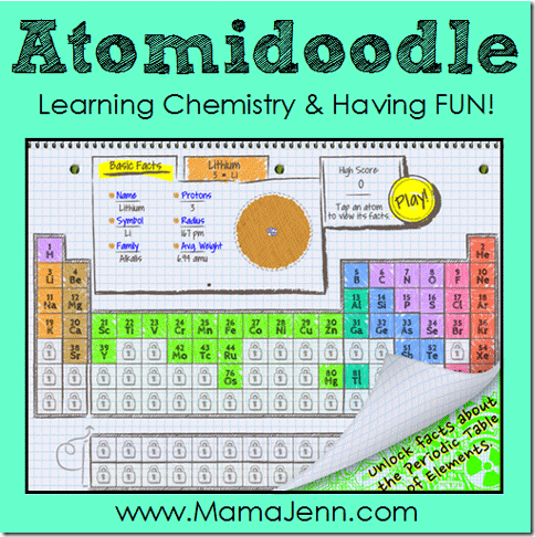 Atomidoodle: Having FUN Learning the Periodic Table
Sam Lehmann
I love this book and have been wanting to use TL Geo. Thanks for showing how,to,use the ebook – easy peasy… On iPad and computer in the classroom at home. No printing each night.
Mama Jenn
So glad you love the atlas! Isn’t it awesome!! I used to be a strict “paper” girl. I needed a hard (paper) copy of everything! But I have begun to realize how helpful it can be to have teacher manuals/guides and such on my iPad!
Sam Lehmann
I love this book and have been wanting to use TL Geo. Thanks for showing how,to,use the ebook – easy peasy… On iPad and computer in the classroom at home. No printing each night.